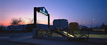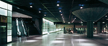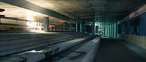
The fall of the Berlin Wall on 9th November 1989 opens a new chapter in the history of Berlin. The two halves of the city come together again, the huge gaps in the traffic network are closed one by one. With the reopening of the Potsdamer Platz metro station on 13th November 1993, the division of the city has been overcome for good. Half of all the money spent on Europe’s largest building site goes into subterranean structures. The “New Berlin” clearly makes a point with the construction of a whole new city district. This is where Berlin’s subterranean advance into the 21st century can be witnessed at its best!
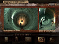
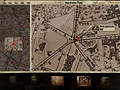
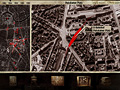
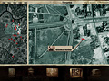
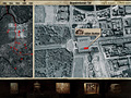
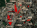
Five interactive aerial pictures of the Potsdamer Platz, taken between 1885 and 1999, illustrate the dramatic history of Germany’s capital in a fascinating manner. The historical development of over 40 subterranean buildings can be experienced with the help of ground plans, illustrations and informative details from different decades. Internet links give you the opportunity to find out more about the whole subject.
subterranean structures are marked red and provide direct access to the documentation.
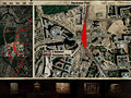
Interactive aerial photographs allow you to look at the image as a whole or just check out some details. Take your pick by using the indicator at the top of the frame.
![]()